The use of Earth Observation data to support marine and coastal applications – August 2020
A training course entitled "The use of Earth Observation (EO) data to support Marine and Coastal applications" was organised by the Mauritius Oceanography Institute (MOI) in collaboration with the Council for Scientific and Industrial Research (CSIR), South Africa and the support of EUMETSAT. This training which builds on the “GMES & Africa and Copernicus Marine Earth Observation Training” focused on the use of Sentinel and Copernicus marine data in marine and coastal applications.
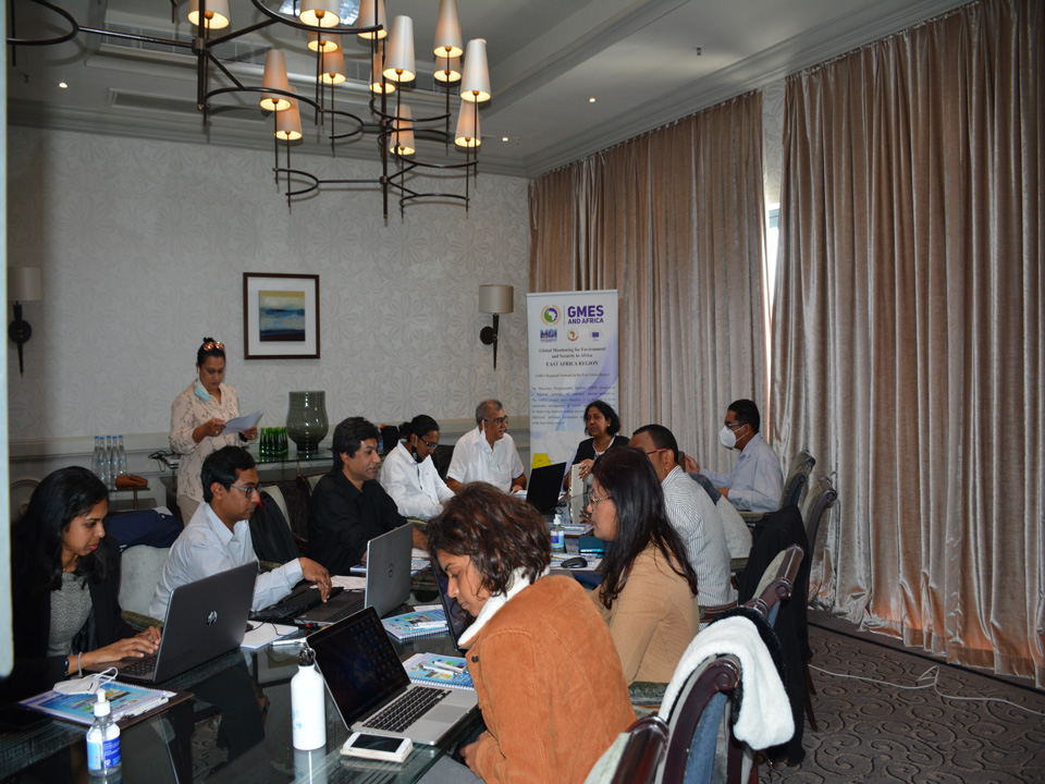
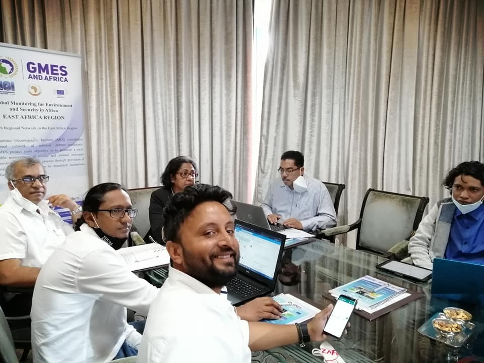
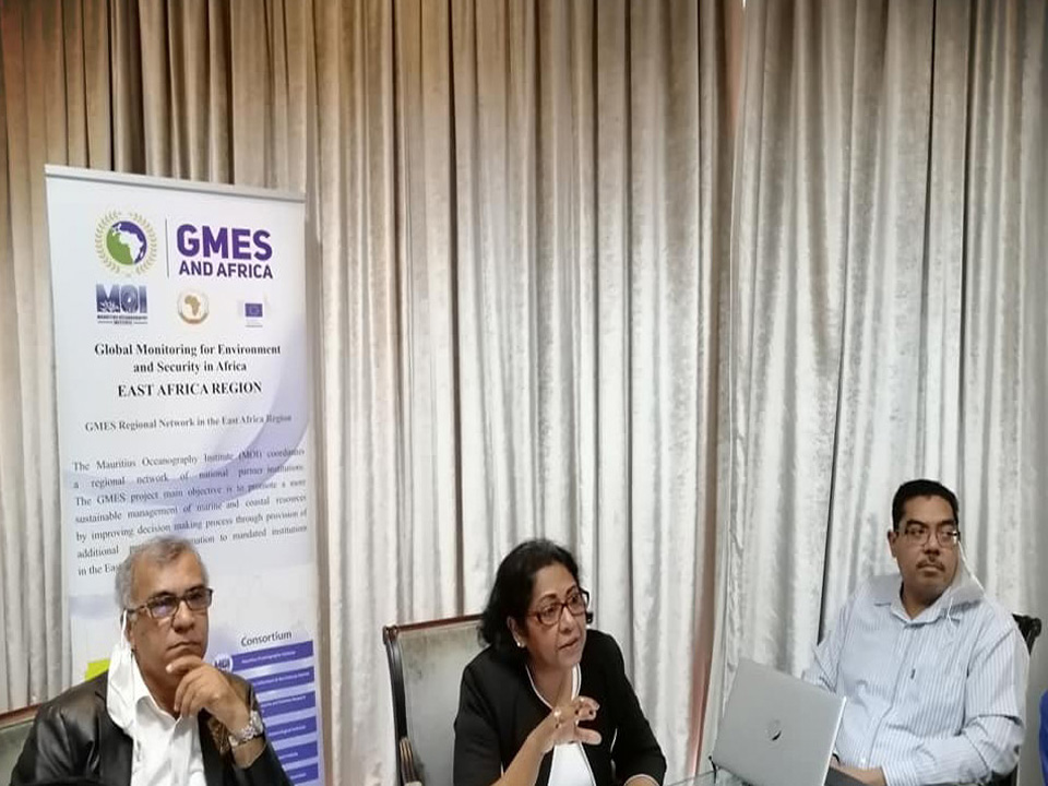
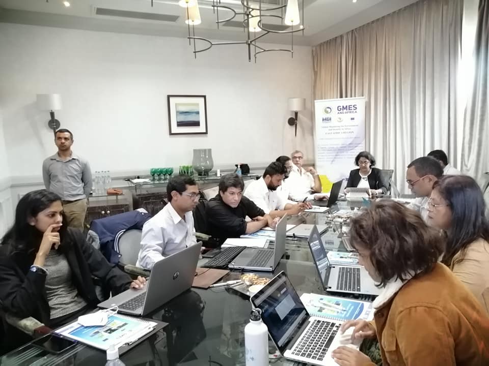
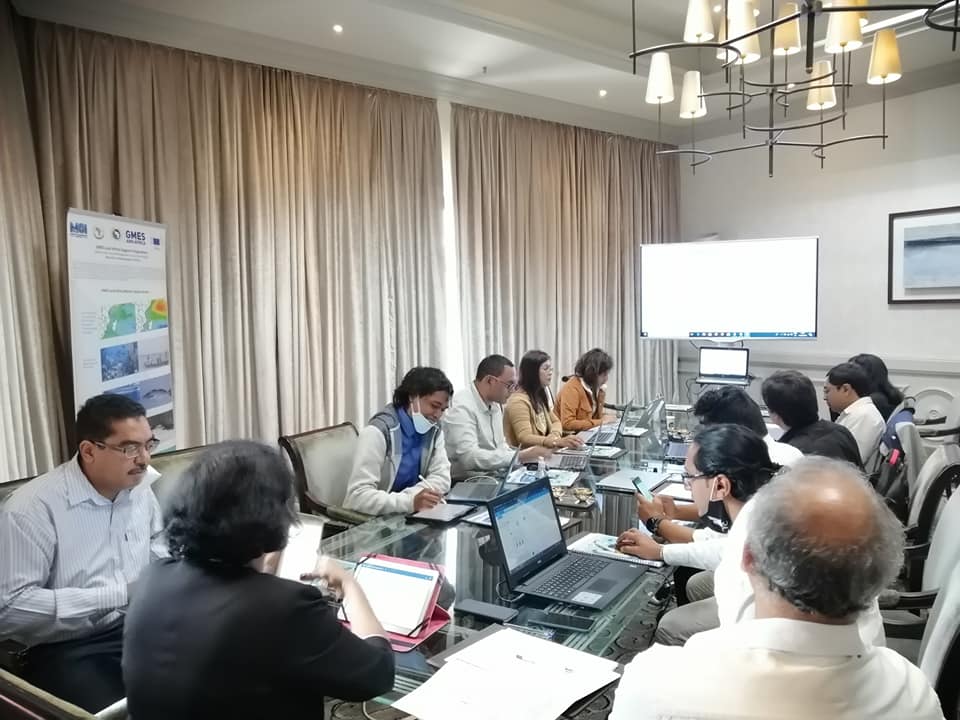
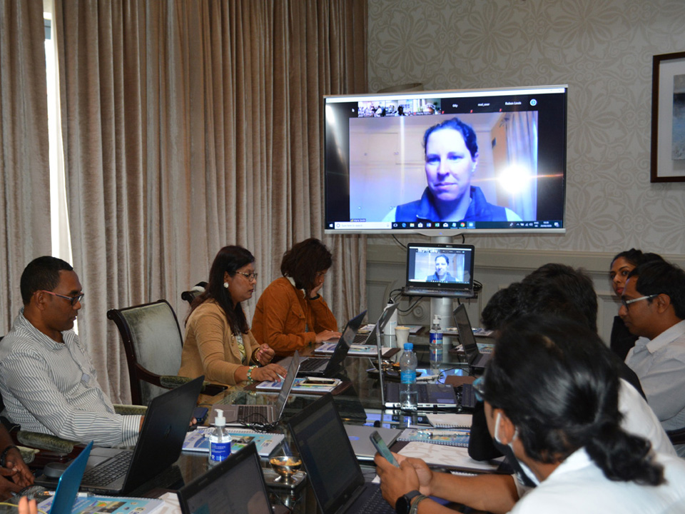
The classroom phase for the Mauritian participants was carried out from the 24th to 28th of August 2020 at Le Labourdonnais Hotel, Caudan Waterfront, Port Louis, Republic of Mauritius. Participants from Kenya, Madagascar, Seychelles and Tanzania attended the course via Zoom. The resource persons for this training included Dr. Marie Smith (CSIR), Dr. Elisabeth Robertson Lain (CSIR), Mr. Christo Whittle (CSIR), Dr. Hayley Evers-King (EUMETSAT) and Mr. Oliver Clements from Plymouth Marine Laboratory (PML).
The Marine and Coastal Service for the East Africa region aims to provide information about the biological and physical state and dynamics of the ocean, fishing grounds, marine ecosystems for the regional seas, coastal vulnerability, sea state forecasts to support marine and coastal management activities and adaptation measures. Thus, the training course focused on the concepts around EO across the value chain, the underlying principles of marine remote sensing, accessing and downloading data and products, and how to work with different open source tools.
The training started with a two weeks self-taught phase on the EUMETSAT moodle platform on the 10th August 2020. The participants worked on a small project with the support of the trainers during the last phase, thus, allowing them to gain skills directly applicable to their work requirements.
The GMES & Africa Programme aims at ensuring that Africa’s human and institutional capacities in accessing, processing and utilising earth observation (EO) products and services are improved, and information is communicated through the right channels to inform decision making throughout the continent. The GMES & Africa and Copernicus Marine EO Training Course was designed to support the development of GMES & Africa activities and Copernicus marine data use in the East Africa region.