Geographic Information Systems (GIS) National Training Workshop
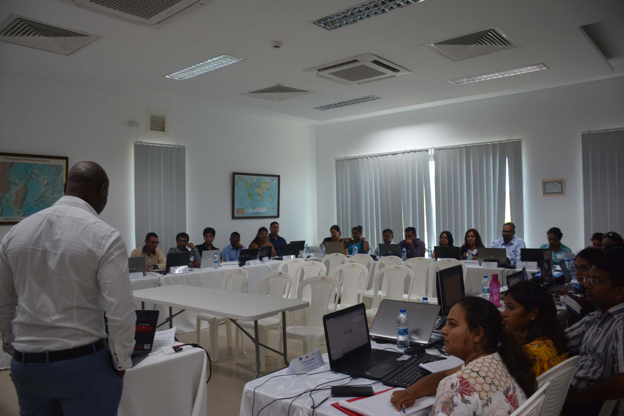
The Mauritius Oceanography Institute (MOI) and the Ministry of Ocean Economy, Marine Resources, Fisheries and Shipping in collaboration with the Western Indian Ocean Marine Science Association (WIOMSA) is organizing a training workshop on Geographic Information Systems (GIS) from the 14th to the 18th of January 2019 at the MOI.
This training workshop will introduce the concepts and application of Geographic Information Systems with conceptual and practical sessions for the analysis of spatial information using the ESRI ArcGIS suite of applications. The course will provide a basic introduction to GIS including spatial data structures and sources, spatial tools, spatial data display and query, map generation, and basic spatial analysis using ArcGIS software.
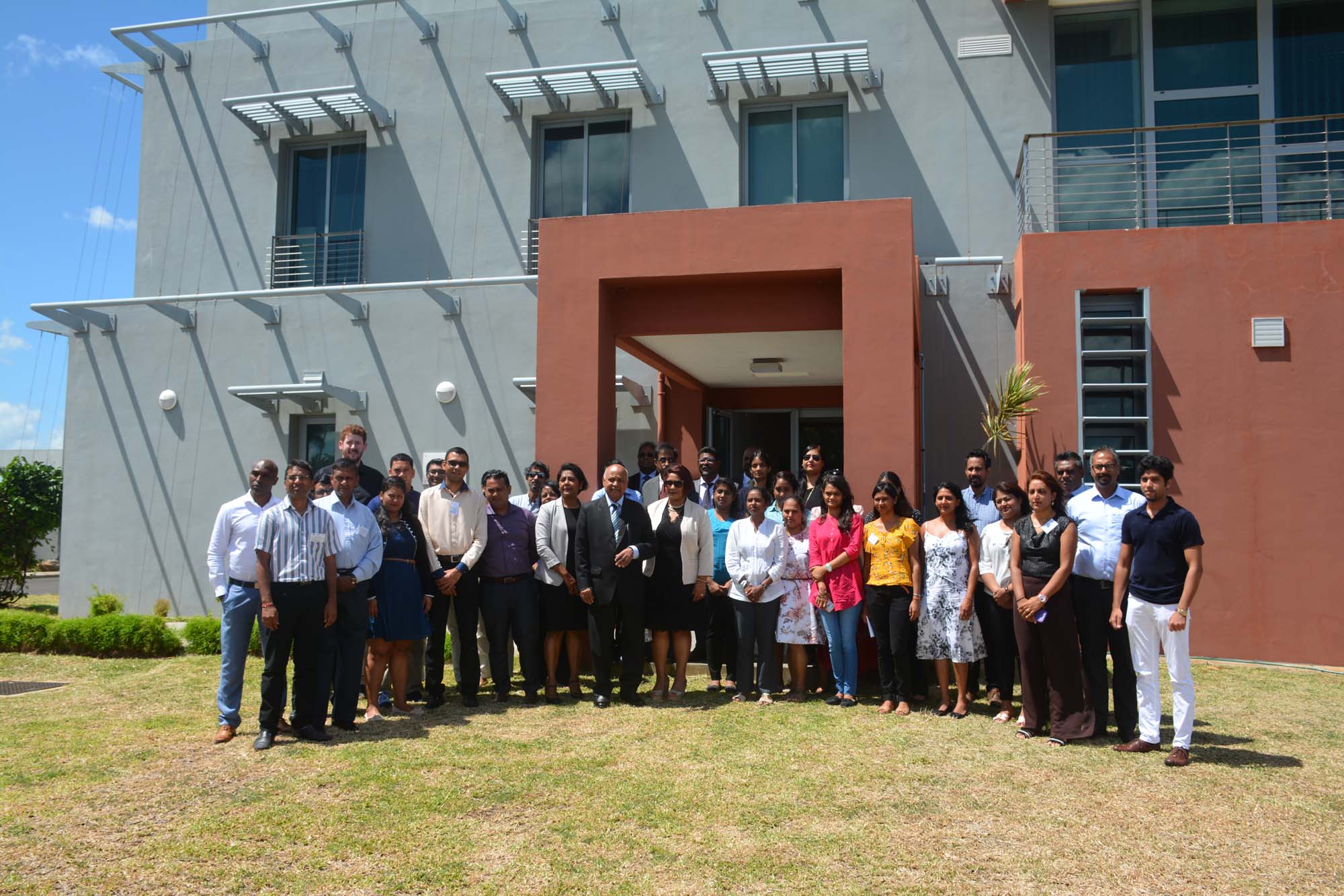
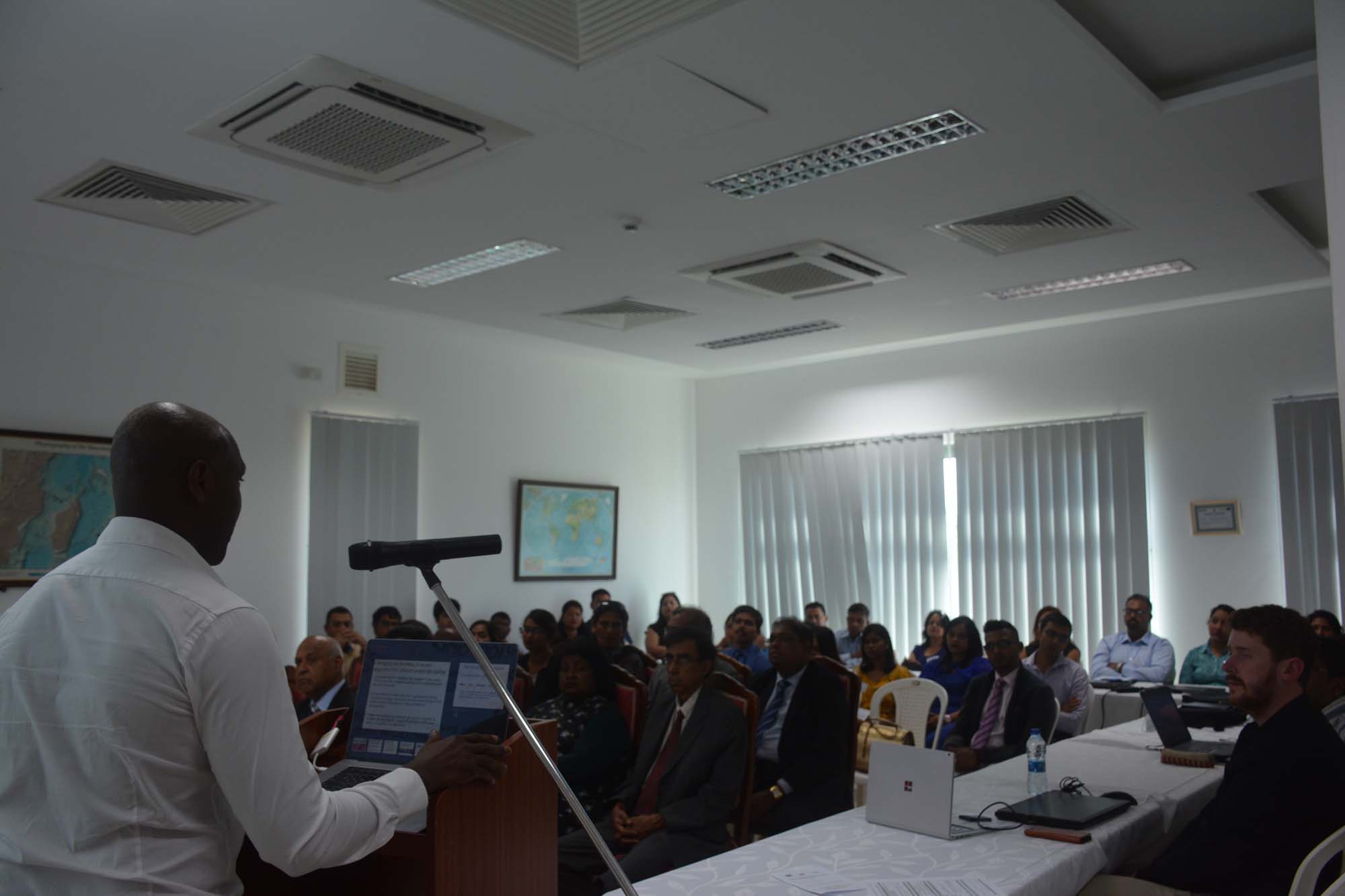
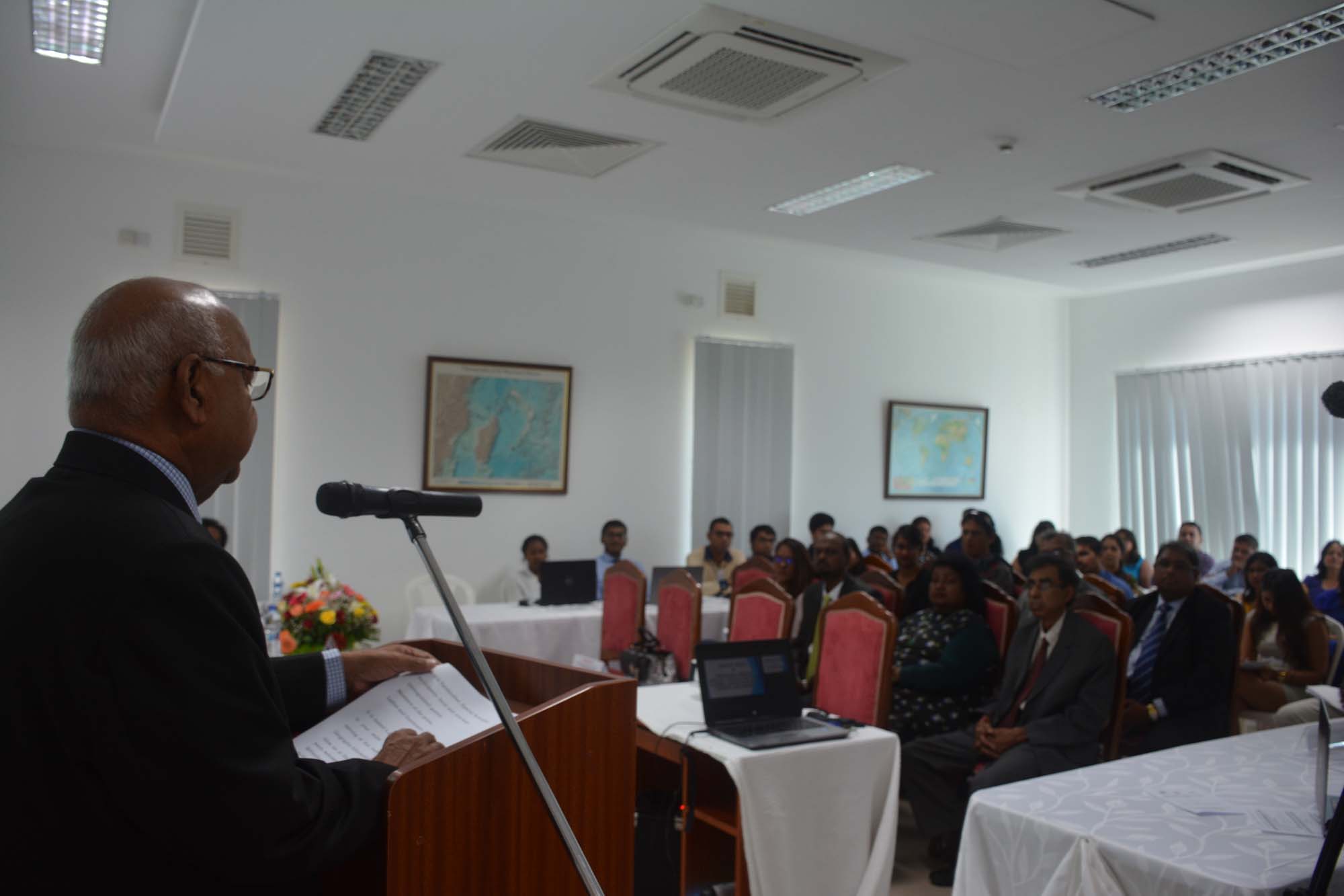
Opening ceremony of the Geographic Information Systems (GIS) National Training Workshop
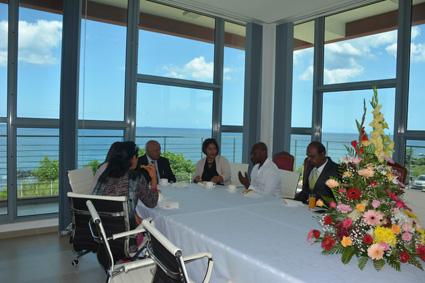
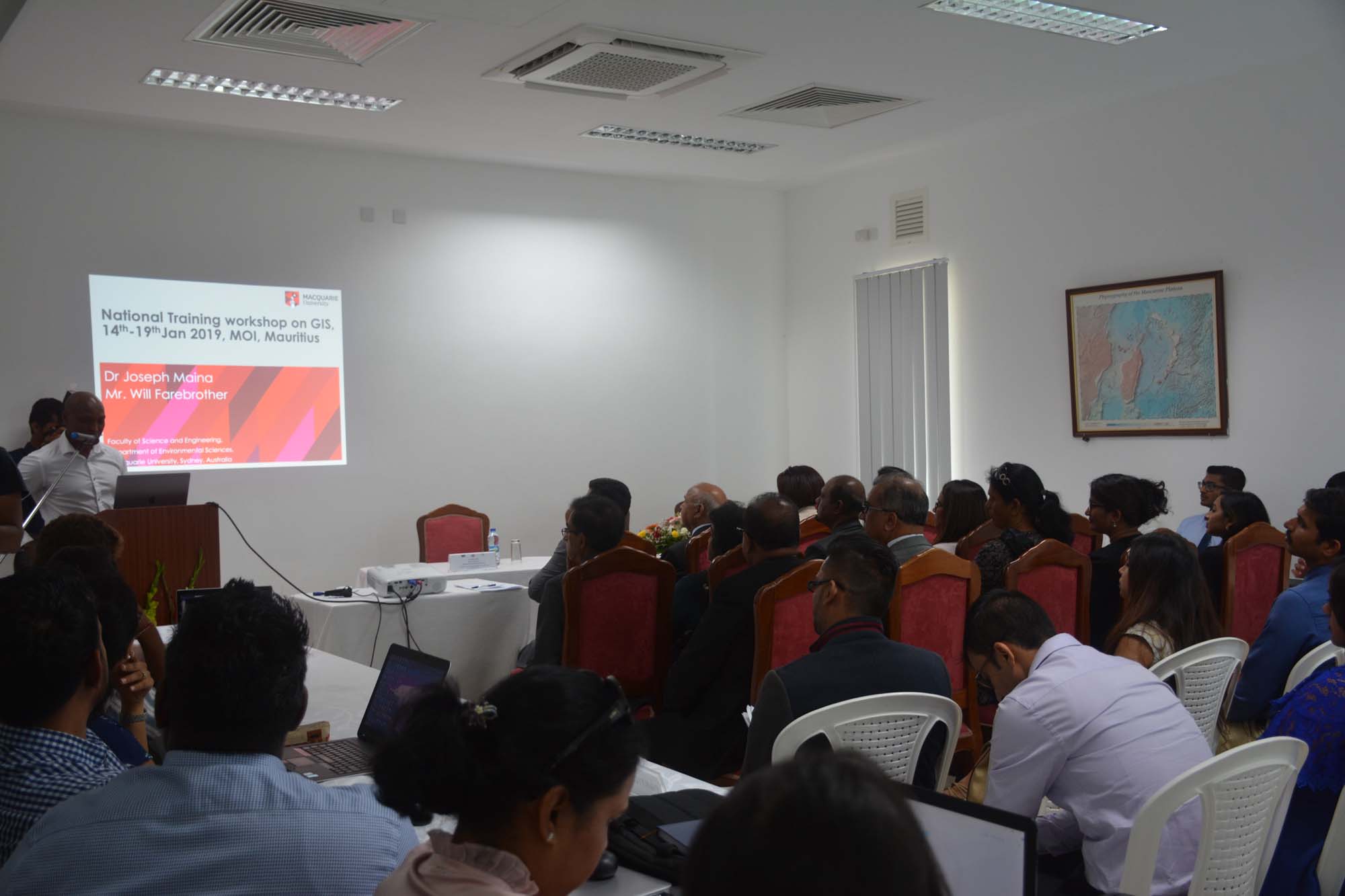
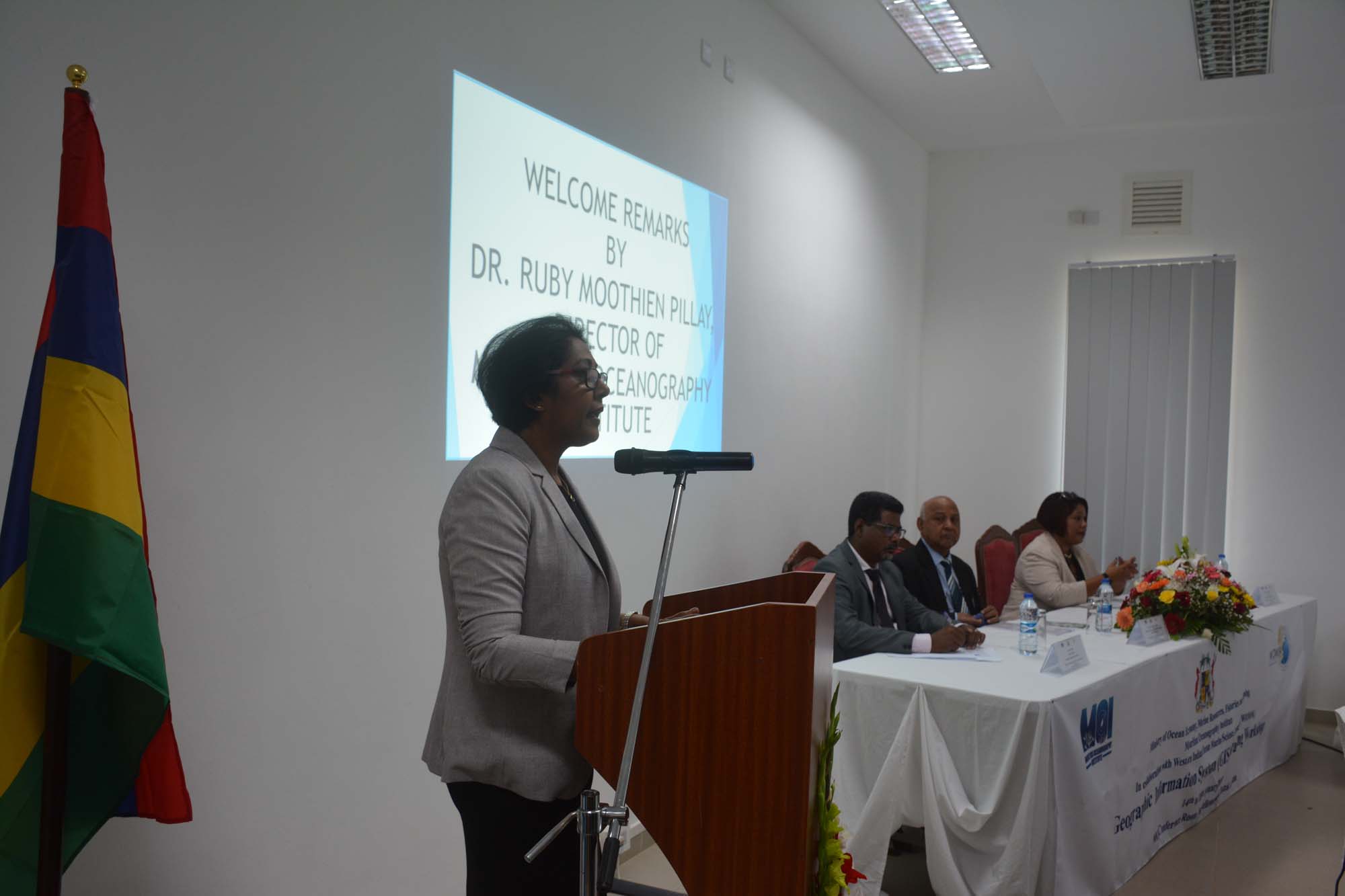
In the context of an ongoing national training workshop on Geographic Information Systems (GIS) from the 14th to the 18th of January 2019 in the MOI Conference by the Mauritius Oceanography Institute (MOI) and the Ministry of Ocean Economy, Marine Resources, Fisheries and Shipping in collaboration with the Western Indian Ocean Marine Science Association (WIOMSA), an Opening Ceremony was held on Monday 14th January 2019 at 09 30 hours.
The Opening Ceremony included welcoming remarks by Dr. Ruby Moothien Pillay, Director of MOI followed by the official opening of the workshop by the Honourable Premdut Koonjoo, Minister for Ocean Economy, Marine Resources, Fisheries and Shipping, an overview of the workshop by Dr. Joseph Maina, Spatial Scientist from the Macquarie University and a group photo.
Invitees included several officials from the Ministry of Ocean Economy, Marine Resources, Fisheries and Shipping as well as Board Members. Participants to the training workshop include representatives from the Environment and Sustainable Development Division of the Ministry of Social Security, National Solidarity, and Environment and Sustainable Development, the Fisheries Department as well as Fisheries Training and Extension Centre (FITEC) of the Ministry of Ocean Economy, Marine Resources, Fisheries and Shipping, the Ministry of Hosing and Lands, the Continental Shelf, Maritime Zone Administration and Exploration (CSMZAE), the Mauritius Meteorological Services, the University of Mauritius and the MOI.
The aim of this training workshop will introduce the concepts and application of Geographic Information Systems with conceptual and practical sessions for the analysis of spatial information using the ESRI ArcGIS suite of applications. The course will provide a basic introduction to GIS including spatial data structures and sources, spatial tools, spatial data display and query, map generation, and basic spatial analysis using ArcGIS software.
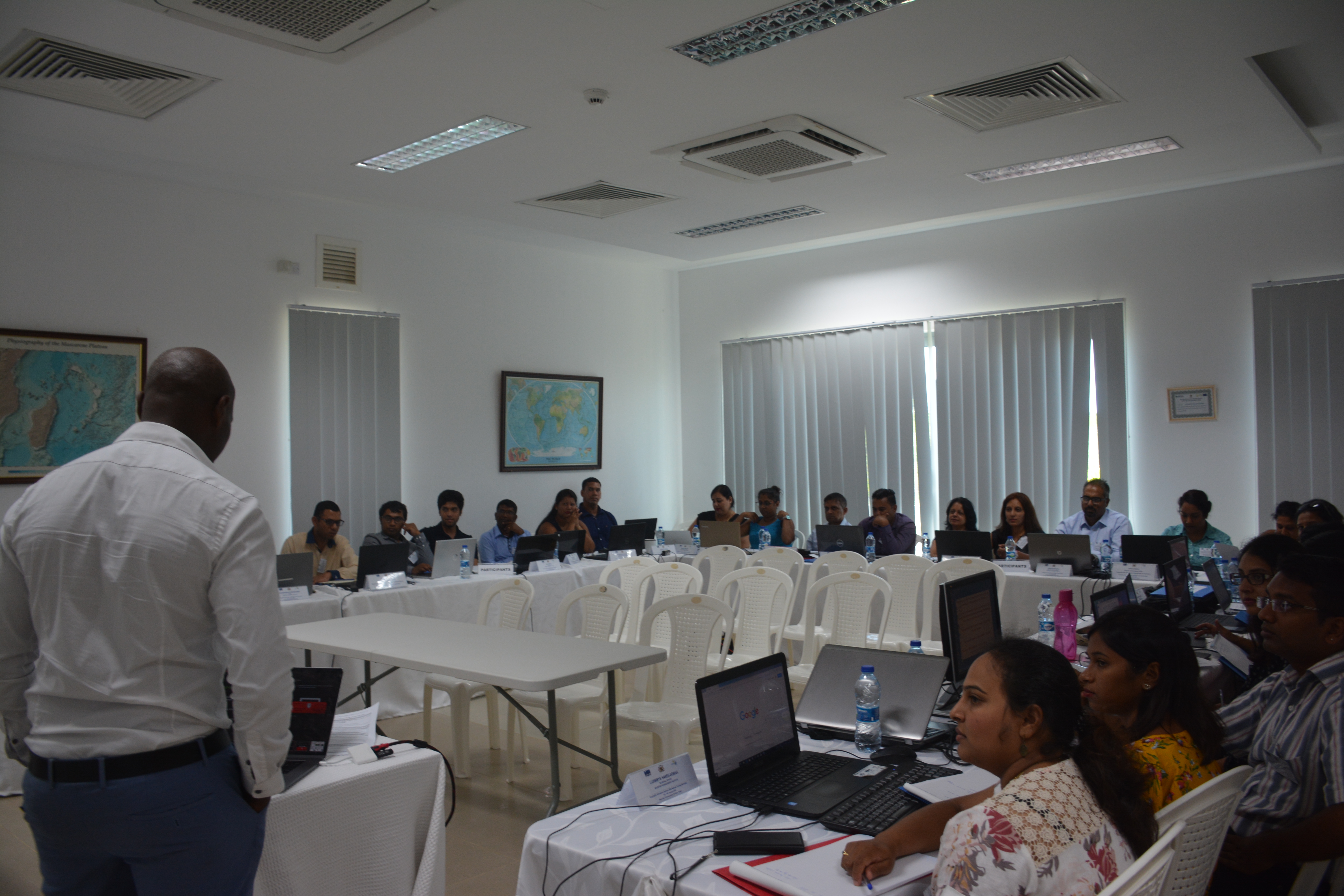
National GIS Training at the MOI (14th to 18th January 2019)
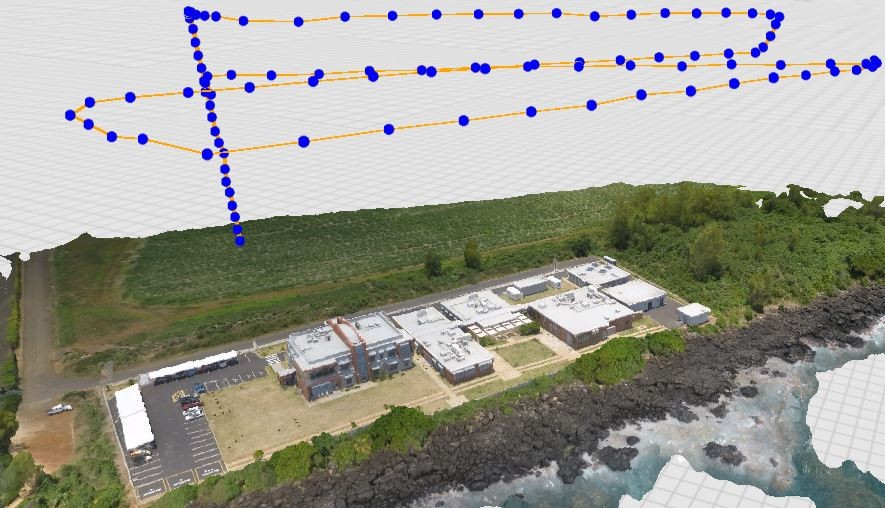
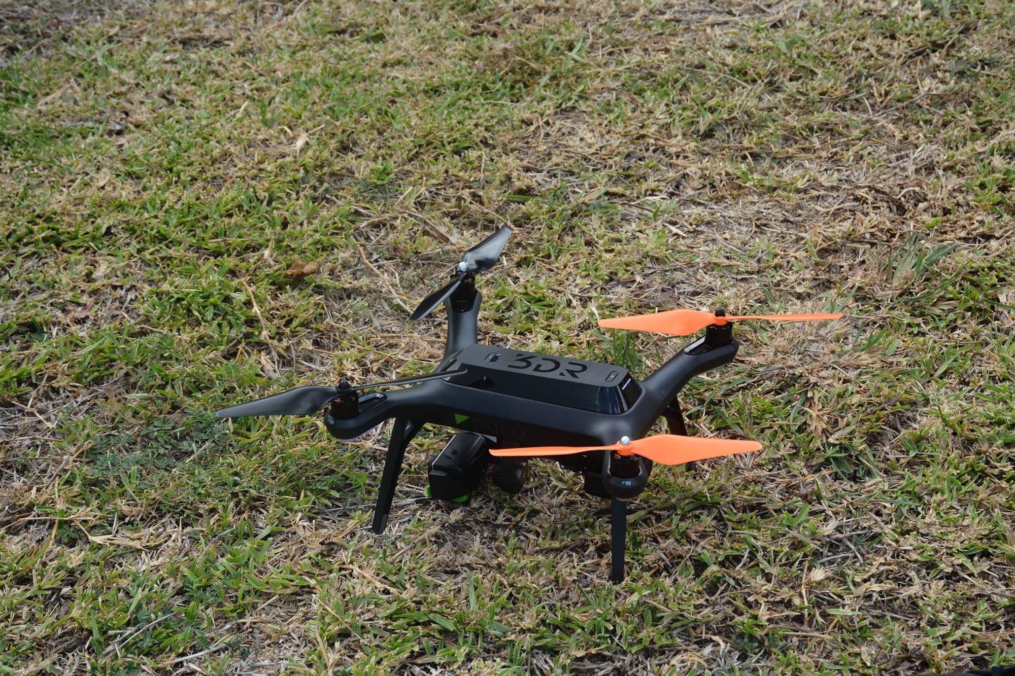
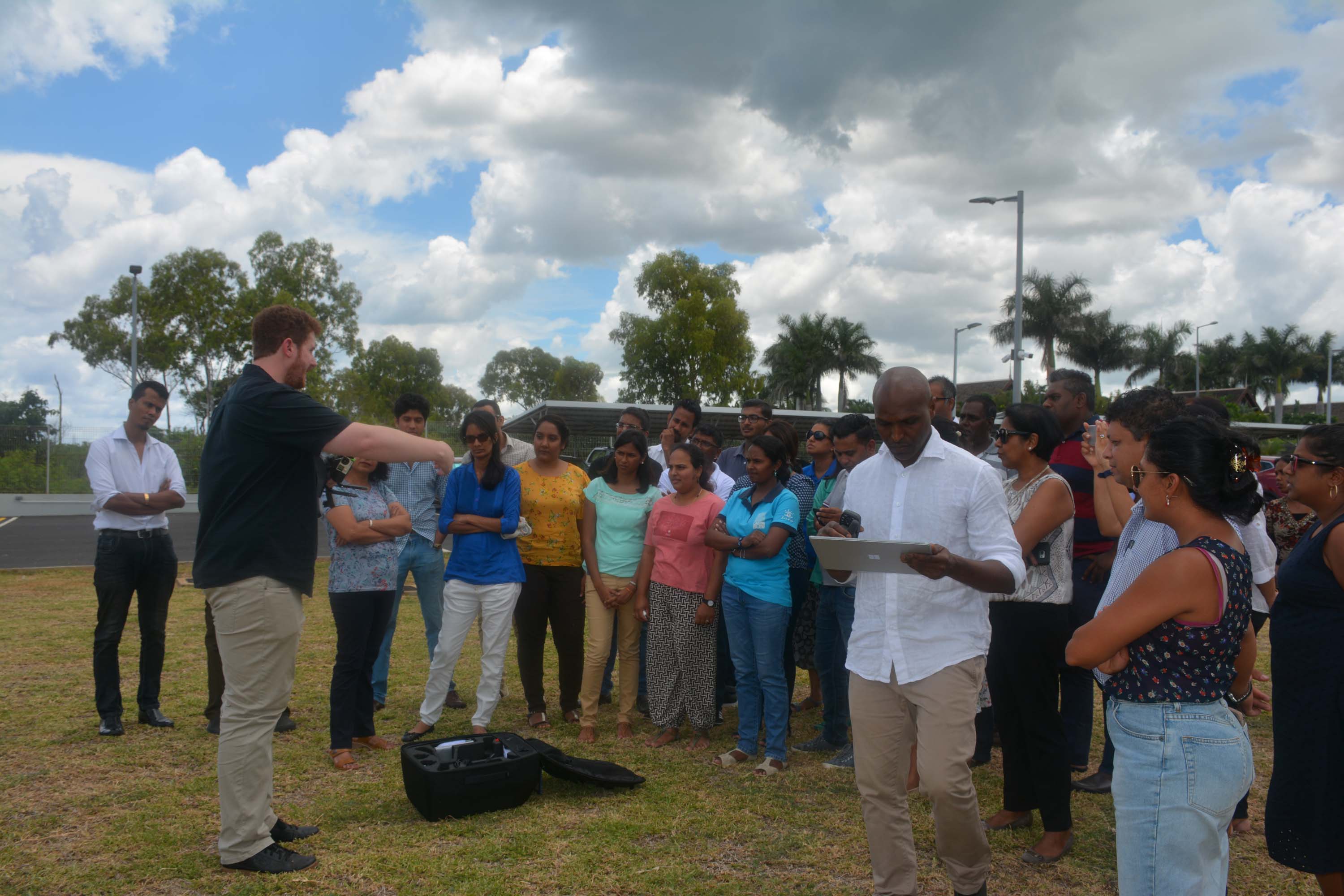
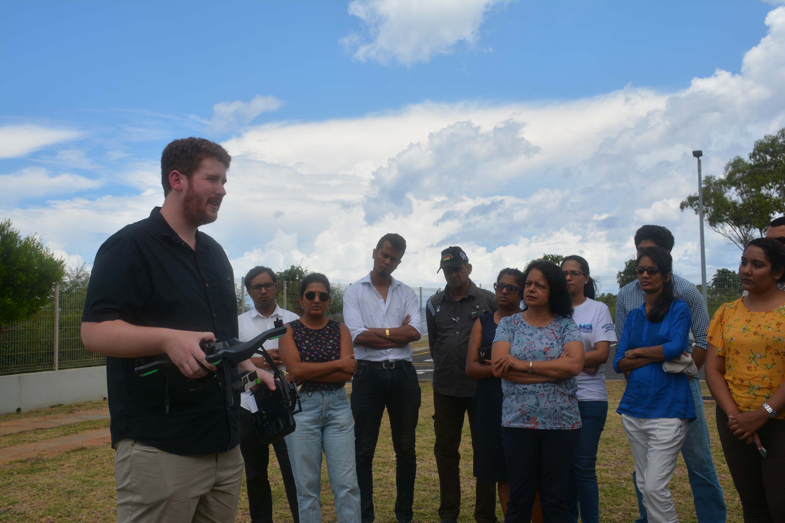
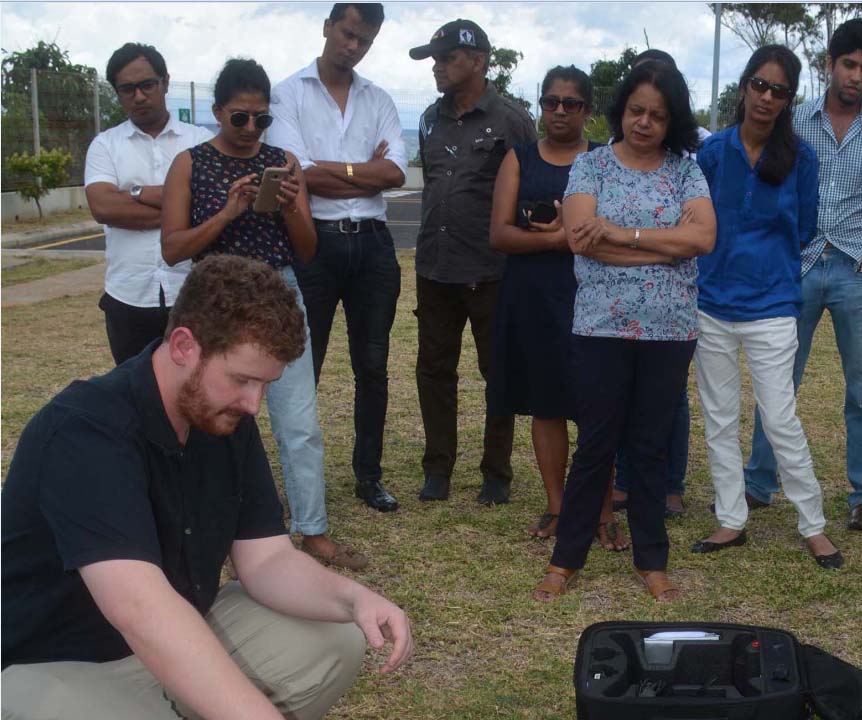
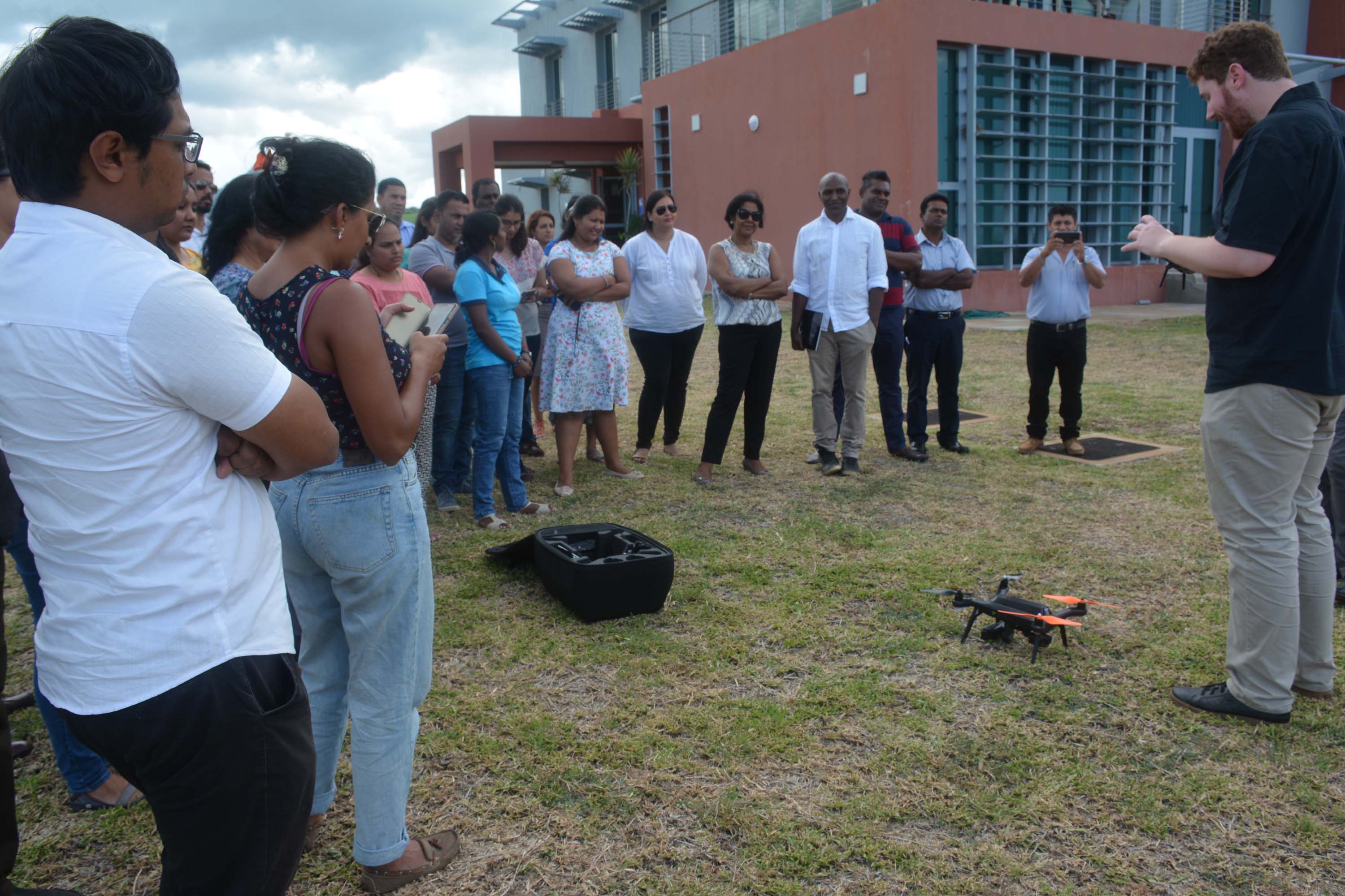
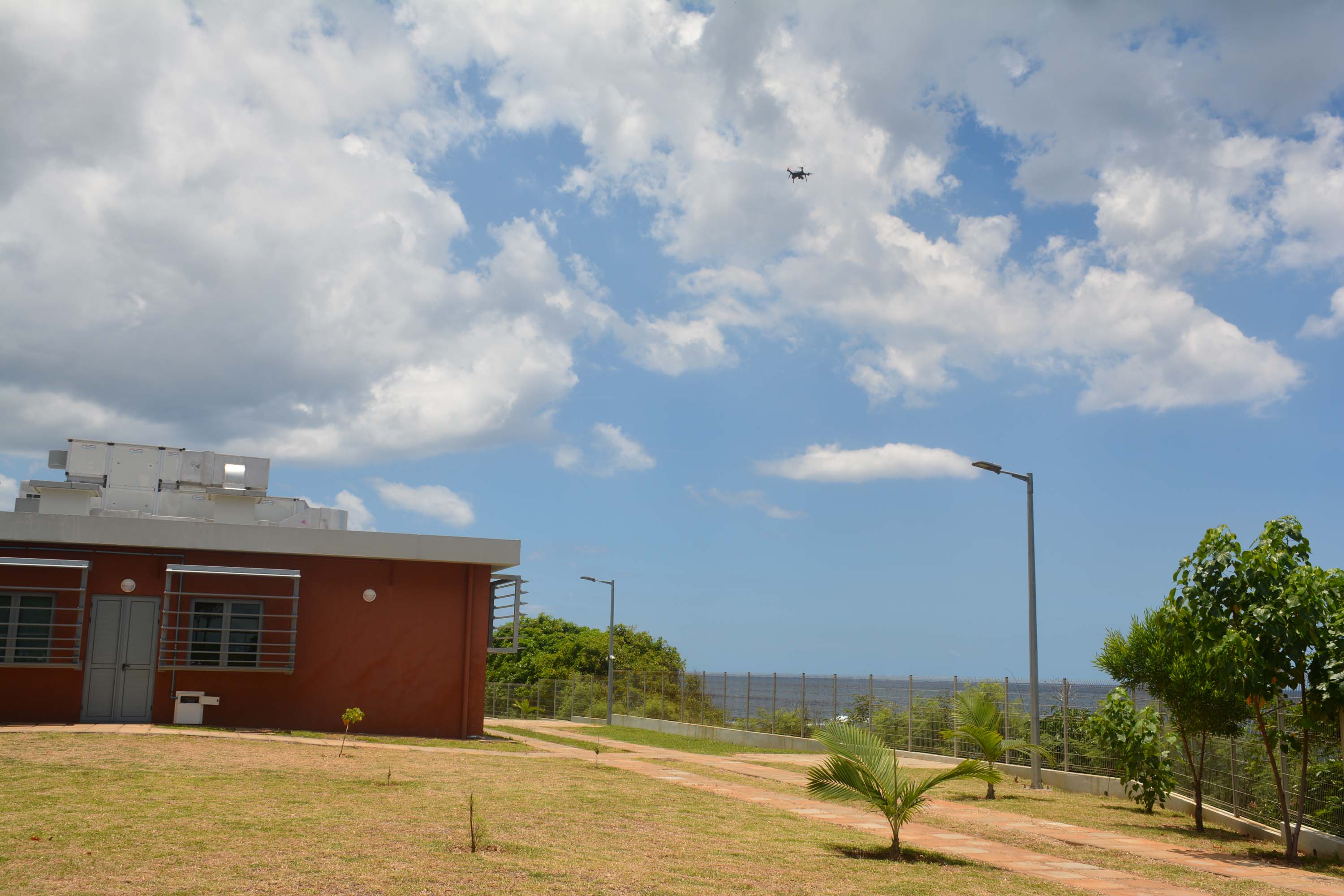
Application of Unmanned Aerial Vehicle (UAV) in Environmental management
At the ongoing National GIS Training Workshop at MOI, the participants have been introduced to the potential applications of drones, among other geospatial tools and analyses.
UAV’s technology is increasingly asserting itself as a necessary tool for acquiring highly resolved data for research and mapping. It can be used for observing diverse environments and applications, including for mapping coastal water quality, shallow water habitat mapping, plastic pollution assessments, marine mammal counts, estimating commercial fishing patterns and in the facilitating of compliance and enforcement in the coastal zone.
Despite this usefulness, it is a relatively new technology and has been rarely deployed in Mauritius. The drone training focused on the hardware and software requirements that are needed to manipulate the raw images acquired by the drone to create 2D/3D model products.
Talk on:
Aligning Marine Spatial Conservation Priorities with functional connectivity across maritime jurisdictions by Dr. Joseph MAINA MBUI Spatial Scientist, Macquarie University, Australia
Globally, national maritime boundaries on Oceans form the basis of governance and management of natural resources, yet fish, and other marine resources neither confirm nor confine to these artificial boundaries. This has been the motivation for establishment of various regional bilateral or multi-country agreements for joint management of shared resources. As goods and services from marine life continue to retrogress under intense human exploitation and climate change, resilience could be achieved through establishment of functionally connected network of marine reserves across maritime jurisdictions. Unfortunately, mechanisms that would allow governments to conserve the Areas Beyond National Jurisdiction (ABNJ) are currently non-existent, while difficulties of non-spatial monitoring and data gaps obstruct conventional management and conservation planning approaches. Consequently, implementing marine reserves has been confined to within national jurisdictions, despite high connectivity among contiguous maritime zones. This therefore implies activities and processes within areas of national jurisdiction have a direct bearing on ABNJS and vice-versa. As the world focus shifts to developing mechanisms for governing the high seas, my research explores an approach that uses simulations of functional connectivity and seafloor geomorphology for cross-jurisdictional regional marine conservation planning. I apply this approach to the Western Indian Ocean to inform a more effective regional marine conservation.
Dr. Joseph Maina Mbui is a spatial scientist with interests in a wide range of environmental and ecological questions, and has predominantly focused on coral reef systems. His ultimate goals are to understand and predict the impacts of environmental variability and change on marine and coastal social-ecological systems at local and global scales in-order to support local adaptation planning and management. He has explored questions in a range of other fields, including hydrology and water resources, sustainable agriculture and food security. Therefore, his work integrates diverse disciplines including macro-ecology, climate science, oceanography, remote sensing, hydrology, fisheries management, and decision science to help answer relevant questions. Given the many large and diverse data sets that he works with, he is also involved in data science projects focused on developing tools for integrating, analysing and extracting information from multiple (often large) data sets more effectively, making it easier to include cross-disciplinary information in addressing complex environmental and ecological questions. Dr. Maina also teaches Spatial Information Science courses at Macquarie University in Sydney, Australia.